

Reading Room

Introduction to ROS 2 Actions: How to Build Long-Running Tasks on a Mobile Robot
TL;DR: This ROS 2 actions tutorial shows you how to implement long-running tasks (navigation, docking, inspection sweeps) on a mobile…
Read more
How to Build a CI/CD Pipeline for Your Robot Software (Yes, It’s Worth It)
TL;DR: A ROS 2 CI/CD pipeline automates building, testing, and deploying your robot software every time you push code. With…
Read more
Recording and Replaying Field Data with ROS 2 Bags: A Research Workflow
TL;DR: ROS 2 bag recording and replay lets you capture selected topics your robot publishes during a field trial, then…
Read more
How to Use Docker for ROS 2 Development: A Practical Setup for Robotics Research Teams
TL;DR: Using ROS 2 Docker containers lets you isolate dependencies, reproduce builds across x86 and ARM64 (Jetson) hardware, and ship…
Read more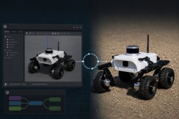
What Is a Robot Digital Twin and How Do You Build One with ROS 2 and Gazebo?
TL;DR: A robot digital twin is a simulated, physics-aware replica of a physical robot that shares its kinematics, sensors, control…
Read more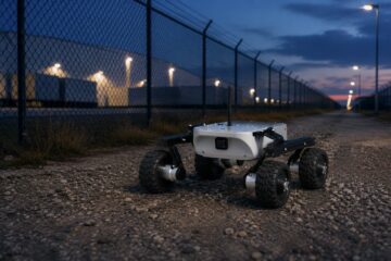
Mobile Robot Platforms for Perimeter Security and Autonomous Patrol
TL;DR: A security robot UGV for autonomous patrol combines a rugged mobile base, redundant perception (LiDAR, thermal, RGB), and a…
Read more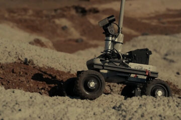
Robots in Analog Space Missions: How Earth Rovers Prepare Us for Mars
TL;DR: An analog space mission robot is a mobile platform used in Earth-based simulations of lunar or Martian operations, where…
Read more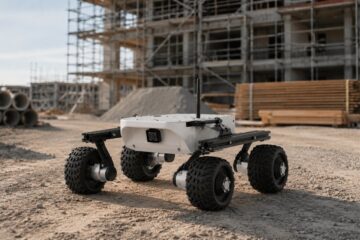
Construction Site Monitoring with UGVs: Use Cases, Challenges, and Early Results
TL;DR: Construction robot monitoring with unmanned ground vehicles (UGVs) automates progress tracking, BIM-to-as-built comparison, and safety inspection on active sites.…
Read more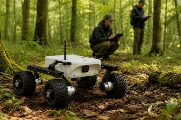
Forest and Environmental Research with Mobile Robots: How Field Ecologists Use UGVs
TL;DR: Forest robot research uses unmanned ground vehicles (UGVs) to collect repeatable, georeferenced data under tree canopies where GNSS is…
Read more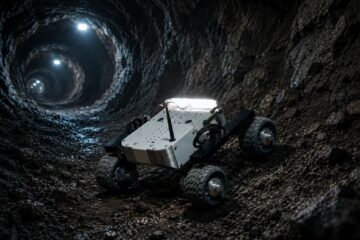
Mapping Hazardous Environments: Mines, Volcanoes, and Nuclear Sites
TL;DR: Hazardous environment robot mapping uses mobile robots equipped with LiDAR, depth cameras, and IMU sensors to build 3D maps…
Read more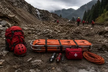
Search and Rescue Robotics: What Makes a Good Field Platform for SAR Operations
TL;DR: A good search and rescue robot platform combines rough-terrain mobility, resilient communication links, and modular payload integration. For SAR,…
Read more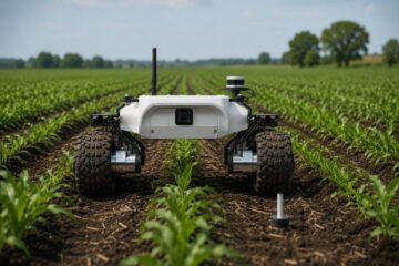
UGVs in Precision Agriculture: Mapping, Sampling, and Monitoring in the Field
TL;DR: UGV precision agriculture combines unmanned ground vehicles, RTK-GNSS, and multispectral or LiDAR payloads to map fields, collect soil and…
Read more